Watch Price
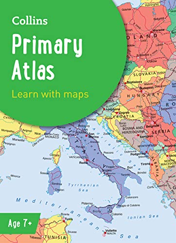
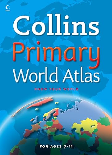
Collins Primary Atlas: Ideal for learning at school and at home (Collins School Atlases)
The must-have atlas for children aged 7-11
Collins Primary Atlas is a great introduction to mapping of the UK, Europe and all major regions of the world. It supports the Key Stage 2 curriculum and is suitable for children aged 7-11 years.
This new, fully up-to-date edition includes information on map reading skills, the meaning of scale and measuring distances, and is ideal for classroom use or home learning.
Reference maps:
• Informative, politically coloured and easy-to-read
• National capitals and major cities are clearly labelled
• Maps are supported with national flags and basic national statistics
Continental maps:
• Linked to regional mapping
• Supported by a selection of aerial and terrestrial photographs
• Relief maps show layer colouring and highlight major physical features
Detalles del producto
Editorial : Collins; Seventh edition (3 marzo 2022)
Idioma : Inglés
Tapa blanda : 68 páginas
ISBN-10 : 0008485941
ISBN-13 : 978-0008485948
Edad de lectura : De 7 a 9 años
Peso del producto : 1,05 kg
Dimensiones : 22.61 x 0.51 x 31.19 cm
Clasificación en los más vendidos de Amazon: nº77 en Mapas y atlas
nº94 en Educación primaria
nº115 en Enciclopedias y obras de consulta (Libros)
Opiniones de los clientes: 4,7
914 valoraciones
Amazon Price History
This is our record of Amazon price changes for Collins Primary Atlas: Ideal for learning at school and at home (Collins School Atlases) (0008485941) since we began monitoring it.
| Price Type | Lowest Ever | Highest Ever | Current + | Average |
|---|---|---|---|---|
| Amazon | (Jun 30, 2026) | (Jun 30, 2026) | 0,00 € (Jun 30, 2026) |
0,00 €
Amazon Price
Jun 30, 2026 03:50 AM
Your Amazon Price Watches
We'll notify you when the price drops to your desired price.
Watch Price


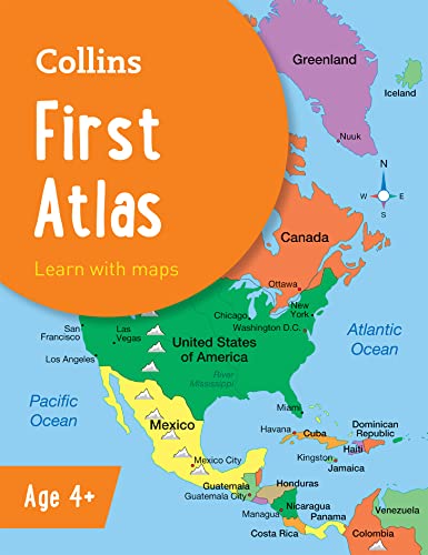


Collins First Atlas: The perfect introductory atlas for children aged 4-7. (Collins Primary Atlases)
Watch Price

Watch Price


Watch Price


Watch Price

