Watch Price
Rand McNally United States Interstate Fold Map
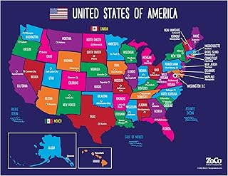
Rand McNally's United States folded map features clear, easy-to-read cartography showing all Interstate and U.S. highways, along with clearly indicated cities, points of interest, airports, boundaries, and more. Rand McNally folded maps have been the trusted standard for years, offering unbeatable accuracy and reliability at a great price. - Interstate and U.S. highways. - Indications of cities, points of interest, airports, boundaries, and more. - Mileage chart. - Mileage & driving times map. - National facts and symbols. - Toll roads chart. - United States physical map. - Visitor information. Product Details: Measures 4.125" x 9" and folds out to 25.5" x 36.75".
Product details
Publisher : RAND MCNALLY & CO. (March 1, 2024)
Language : English
Map : 1 pages
ISBN-10 : 0528027786
ISBN-13 : 978-0528027789
Item Weight : 2.4 ounces
Dimensions : 4 x 0.25 x 9 inches
Best Sellers Rank: #798 in Books (See Top 100 in Books)
#1 in Atlases (Books)
#4 in United States Atlases & Maps (Books)
Customer Reviews: 4.8
3,221 ratings
Amazon Price History
This is our record of Amazon price changes for Rand McNally United States Interstate Fold Map (0528027786) since we began monitoring it.
| Price Type | Lowest Ever | Highest Ever | Current + | Average |
|---|---|---|---|---|
| Amazon | (Jul 31, 2026) | (Jul 31, 2026) | 0,00 € (Jul 31, 2026) |
0,00 €
Amazon Price
Jul 31, 2026 08:42 AM
Your Amazon Price Watches
We'll notify you when the price drops to your desired price.
Watch Price


Watch Price


Watch Price
Watch Price


Watch Price