
Watch Price
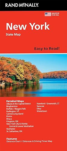
Rand McNally Easy to Read: North Carolina State Folded Map
Rand McNally's folded map for North Carolina is a must-have for anyone traveling in or through the state, offering unbeatable accuracy and reliability at a great price. Our trusted cartography shows all Interstate, U.S., state, and county highways and much more. - Points of interest. - State park chart. - State mileage chart. - Driving times map. - On-the-road toolbox. - Visitor center information. - Climate data. - State facts & symbols. - Easy-to-use legend. - Detailed indexed. Coverage Area Detailed maps include: Asheville, Charlotte, Fayetteville, Gastonia, Great Smoky Mountains National Park, Raleigh/Durham/Chapel Hill, Wilmington, Winston-Salem/Greensboro/High Point. Product Details: Measures 4" x 9.5" and folds out to 28" x 40".
Product details
Publisher : Rand McNally (February 16, 2024)
Language : English
Map : 1 pages
ISBN-10 : 052802910X
ISBN-13 : 978-0528029103
Item Weight : 1 pounds
Dimensions : 3.94 x 0.16 x 9.29 inches
Best Sellers Rank: #11,724 in Books (See Top 100 in Books)
#10 in Atlases (Books)
Customer Reviews: 4.6
34 ratings
Amazon Price History
This is our record of Amazon price changes for Rand McNally Easy to Read: North Carolina State Folded Map (052802910X) since we began monitoring it.
| Price Type | Lowest Ever | Highest Ever | Current + | Average |
|---|---|---|---|---|
| Amazon | (Jun 11, 2026) | (Jun 11, 2026) | 0,00 € (Jun 11, 2026) |
0,00 €
Amazon Price
Jun 11, 2026 04:47 PM
Your Amazon Price Watches
We'll notify you when the price drops to your desired price.
Watch Price


Watch Price

Watch Price


Watch Price


