Watch Price
Digital Edition (Philip's Navigator Road Atlas Britain)
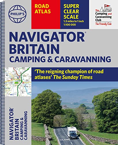
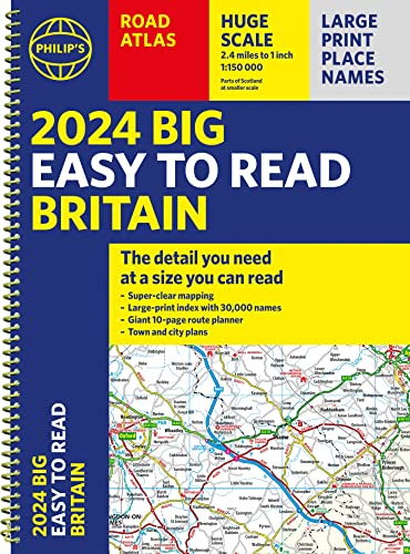
This atlas uses an ultra-large scale of 1.5 miles to 1 inch over 300 pages of maps. It details road junctions, roundabouts, and motorway slip roads. Road and country lanes are marked. This atlas includes many individual farms and larger houses in rural areas. Airports, airfields, railway stations, marinas, county showgrounds, ferries and canals are marked, as well as tourist attractions and sporting/historic sites, in order to aid touring and leisure. There are in addition 52 town and city plans.
Product details
Publisher : Philip's; Digital ed edition (26 November 2000)
Language : English
Paperback : 368 pages
ISBN-10 : 0540078174
ISBN-13 : 978-0540078172
Item Weight : 1 kg 920 g
Dimensions : 28.5 x 2 x 39 cm
Publisher : Philip's; Digital ed edition (26 November 2000)
Language : English
Paperback : 368 pages
ISBN-10 : 0540078174
ISBN-13 : 978-0540078172
Item Weight : 1 kg 920 g
Dimensions : 28.5 x 2 x 39 cm
Amazon Price History
This is our record of Amazon price changes for Digital Edition (Philip's Navigator Road Atlas Britain) (0540078174) since we began monitoring it.
| Price Type | Lowest Ever | Highest Ever | Current + | Average |
|---|---|---|---|---|
| Amazon | (Jun 11, 2026) | (Jun 11, 2026) | 0,00 € (Jun 11, 2026) |
0,00 €
Amazon Price
Jun 11, 2026 05:40 AM
Your Amazon Price Watches
We'll notify you when the price drops to your desired price.
Watch Price


Watch Price

Watch Price
Great Britain Road Atlas 2025 Hardback (AA Road Atlas) (AA Road Atlas Britain) (AA UK Atlas Britain)
Watch Price
Watch Price
Watch Price

Caravan & Motorhome Atlas Spiral bound (AA Road Atlas) (AA Road Atlas Britain) (AA UK Atlas Britain)
Watch Price

Watch Price

Watch Price

Watch Price


Watch Price