Watch Price
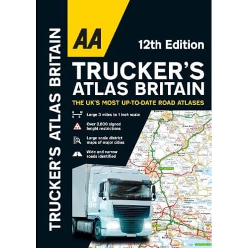
AA Trucker's Atlas Britain (AA Road Atlas Britain) A3 Spiral-bound
Perfect for professional drivers to easily use whilst on the road and when planning routes, this large format A3 road atlas has a clear 3 miles to 1 inch scale.
Fully updated for 2024, the atlas includes truck and freight ferry routes and port plans, route planner map, quick reference distance chart and an explanatory list of restricted motorway junctions. Additionally there is a 12-page section of London street mapping with height, width and weight restrictions clearly marked, as well as large scale district maps of London, Birmingham, Glasgow, Manchester and Tyne & Wear.
Information of particular importance to truck drivers is emphasised on the mapping which includes over 3,600 bridge heights, with the most frequently struck rail bridges highlighted. Roads less than 4 metres wide are distinguished, as well as road tunnels, toll roads, service areas, steep gradients, level crossings and low emission zones.
23 port plans and clear route planner map. A special feature, in conjunction with Network Rail’s #wiseupsizeup campaign, provides useful information on how to prevent bridge strikes - an essential read for all truck drivers and other professionals in the haulage industry.
Product details
Publisher : AA Publishing; 12th edition (26 Oct. 2023)
Language : English
Spiral-bound : 144 pages
ISBN-10 : 0749583584
ISBN-13 : 978-0749583583
Dimensions : 40.2 x 28.5 x 1 cm
Best Sellers Rank: 5,869 in Books (See Top 100 in Books)
103 in Travel Atlases & Maps
1,034 in Home & Garden (Books)
Customer reviews: 4.6
47 ratings
Amazon Price History
This is our record of Amazon price changes for AA Trucker's Atlas Britain (AA Road Atlas Britain) A3 Spiral-bound (0749583584) since we began monitoring it.
| Price Type | Lowest Ever | Highest Ever | Current + | Average |
|---|---|---|---|---|
| Amazon | (Jul 01, 2026) | (Jul 01, 2026) | 0,00 € (Jul 01, 2026) |
0,00 €
Amazon Price
Jul 01, 2026 01:41 PM
Your Amazon Price Watches
We'll notify you when the price drops to your desired price.
Watch Price
Watch Price
Watch Price
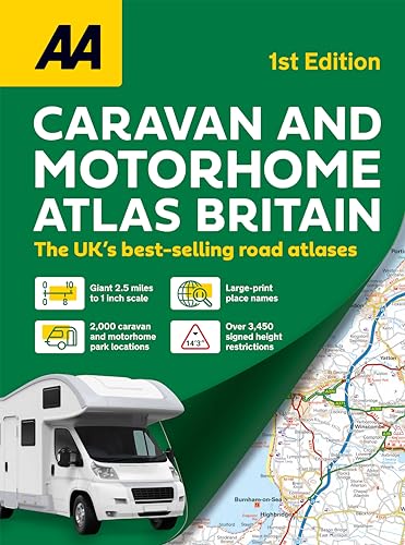
Caravan & Motorhome Atlas Spiral bound (AA Road Atlas) (AA Road Atlas Britain) (AA UK Atlas Britain)
Watch Price

Watch Price
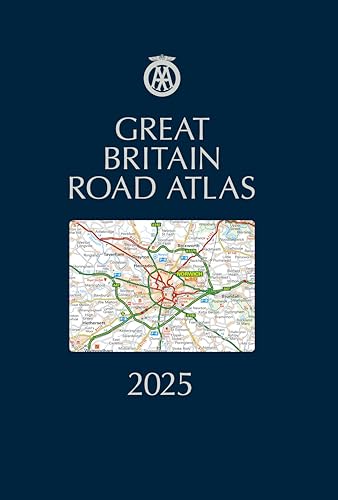
Great Britain Road Atlas 2025 Hardback (AA Road Atlas) (AA Road Atlas Britain) (AA UK Atlas Britain)
Watch Price
![Manto Mera Dushman [Spiral-bound] Upendranath Ashk and Punjabi [Spiral-bound] Upendranath Ashk and Punjabi [Spiral-bound] Upendranath Ashk and Punjabi](https://m.media-amazon.com/images/I/51ddG6-w9LL._SL500_.jpg)
![Guru Ravidas Parchi Krit Sant Kavi Kirat Singh Ji [Spiral-bound] Dr Baldev Singh Baddan [Spiral-bound] Dr Baldev Singh Baddan [Spiral-bound] Dr Baldev Singh Baddan](https://m.media-amazon.com/images/I/51ywbfFPZ6L._SL500_.jpg)
![Saadat Hasan Manto [Spiral-bound] Narendra Mohan [Spiral-bound] Narendra Mohan [Spiral-bound] Narendra Mohan](https://m.media-amazon.com/images/I/51QXvWoPzcL._SL500_.jpg)
Watch Price

Watch Price
![A Brief Atlas of the Human Body by Hutchinson, Matt, Mallatt, Jon B., Marieb, Elaine N., Wilhel [Pearson, 2010] ( Spiral-bound ) 2nd edition [Spiral-bound]](https://m.media-amazon.com/images/I/41sgt+HhCRL._SL500_.jpg)

Watch Price


Watch Price
Watch Price

Watch Price
Watch Price
Watch Price