Watch Price
Philip's Road Map France and Belgium (Philip's Sheet Maps)
'THE CLEAREST AND MOST DETAILED MAPS OF EUROPE' David Williams MBE, former CEO Gem Motoring Assist
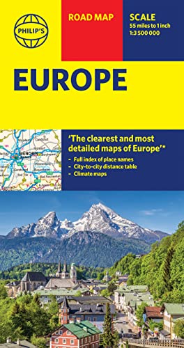
A freshly updated edition of Philip's ultra-clear, double-sided road map covering the whole of France and Belgium, with the latest tourist, heritage and driving information, a comprehensive index and town plans for easy use.
This bestselling fold-out map for navigating in France and Belgium has been thoroughly updated for easy travelling. Whether you are driving through vineyards to the most spectacular scenic routes the countries have to offer, meandering through the South of France or planning your trip from Brussels to Paris, this handy map has all you need.
- Super-clear mapping scale 1:1,110,000 (17.5 miles to 1 inch)
-
Product details
Publisher : Philip's (20 Jun. 2024)
Language : English
ISBN-10 : 1849076790
ISBN-13 : 978-1849076791
Dimensions : 11.4 x 1.6 x 23.8 cm
Best Sellers Rank: 37,862 in Books (See Top 100 in Books)
187 in Historical Atlases & Maps
575 in Travel Atlases & Maps
1,253 in Specialty Travel
Customer reviews: 4.5
107 ratings
Amazon Price History
This is our record of Amazon price changes for Philip's Road Map France and Belgium (Philip's Sheet Maps) (1849076790) since we began monitoring it.
| Price Type | Lowest Ever | Highest Ever | Current + | Average |
|---|---|---|---|---|
| Amazon | (Jun 13, 2026) | (Jun 13, 2026) | 0,00 € (Jun 13, 2026) |
0,00 €
Amazon Price
Jun 13, 2026 04:11 AM
Your Amazon Price Watches
We'll notify you when the price drops to your desired price.
Watch Price

Watch Price


Watch Price


Watch Price