Watch Price
Delorme Atlas & Gazetteer: Ohio
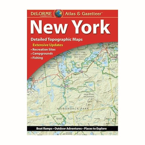
With an incredible wealth of detail, DeLorme's Atlas & Gazetteer is the perfect companion for exploring the Ohio outdoors. Extensively indexed, full-color topographic maps provide information on everything from cities and towns to historic sites, scenic drives, trailheads, boat ramps and even prime fishing spots. Conveniently bound in book form, the Atlas & Gazetteer is your most comprehensive guide to Ohio's backcountry. - Full-color topographic maps provide information on everything from cities and towns to historic sites, scenic drives, recreation areas, trailheads, boat ramps and prime fishing spots. - Extensively indexed. - Handy latitude/longitude overlay grid for each map allows you to navigate with GPS. - Inset maps provided for major cities as well as all state lands. Product Details: Dimensions: 15.5" x 11". Available for all 50 States!
Product details
Publisher : Delorme Mapping Company (December 27, 2022)
Language : English
Map : 80 pages
ISBN-10 : 1946494607
ISBN-13 : 978-1946494603
Item Weight : 1 pounds
Dimensions : 12 x 0.8 x 15.6 inches
Best Sellers Rank: #42,929 in Books (See Top 100 in Books)
#9 in Atlases (Books)
Customer Reviews: 4.6
61 ratings
Amazon Price History
This is our record of Amazon price changes for Delorme Atlas & Gazetteer: Ohio (1946494607) since we began monitoring it.
| Price Type | Lowest Ever | Highest Ever | Current + | Average |
|---|---|---|---|---|
| Amazon | (Jul 05, 2026) | (Jul 05, 2026) | 0,00 € (Jul 05, 2026) |
0,00 €
Amazon Price
Jul 05, 2026 12:55 PM
Your Amazon Price Watches
We'll notify you when the price drops to your desired price.
Watch Price


Watch Price