Watch Price
Delorme Atlas & Gazetteer: West Virginia
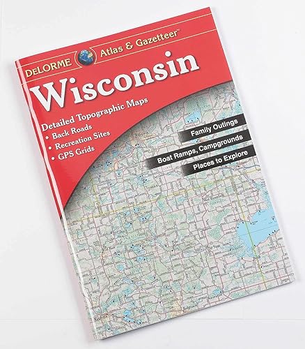
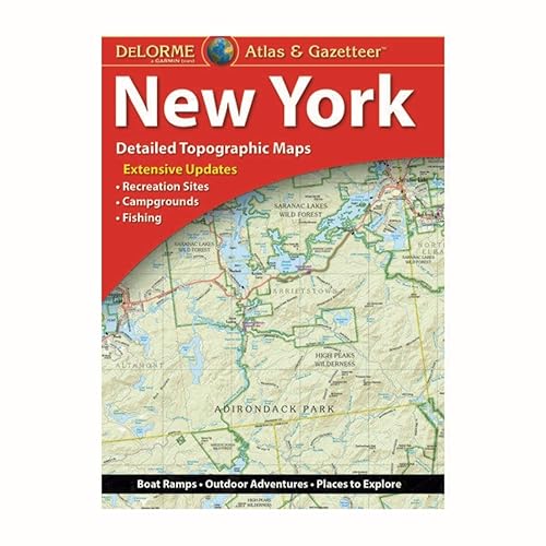
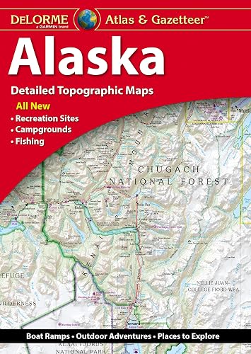
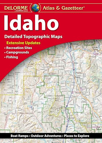
With an incredible wealth of detail, DeLorme's Atlas & Gazetteer is the perfect companion for exploring the West Virginia outdoors. Extensively indexed, full-color topographic maps provide information on everything from cities and towns to historic sites, scenic drives, trailheads, boat ramps and even prime fishing spots. The Atlas & Gazetteer is your most comprehensive navigational guide to West Virginia's backcountry. - Full-color topographic maps provide information on everything from cities and towns to historic sites, scenic drives, recreation areas, trailheads, boat ramps and prime fishing spots. - Extensively indexed. - Handy latitude/longitude overlay grid for each map allows you to navigate with GPS. - Inset maps provided for major cities as well as all state lands. Product Details: Dimensions: 15.5" x 11". Available for all 50 States!
Product details
Publisher : Delorme Mapping Company (January 23, 2022)
Language : English
Hardcover : 64 pages
ISBN-10 : 1946494658
ISBN-13 : 978-1946494658
Item Weight : 12.8 ounces
Dimensions : 11.8 x 1 x 16 inches
Best Sellers Rank: #63,428 in Books (See Top 100 in Books)
#15 in Atlases (Books)
Customer Reviews: 4.8
430 ratings
Amazon Price History
This is our record of Amazon price changes for Delorme Atlas & Gazetteer: West Virginia (1946494658) since we began monitoring it.
| Price Type | Lowest Ever | Highest Ever | Current + | Average |
|---|---|---|---|---|
| Amazon | (Jul 05, 2026) | (Jul 05, 2026) | 0,00 € (Jul 05, 2026) |
0,00 €
Amazon Price
Jul 05, 2026 08:58 PM
Your Amazon Price Watches
We'll notify you when the price drops to your desired price.
Watch Price