Watch Price
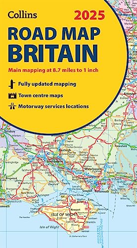
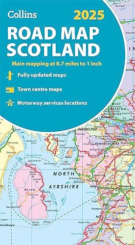
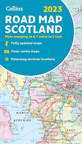
2025 Collins Road Map of Britain: Folded map (Collins Road Atlas)
Explore Britain with easy-to-read mapping from Collins.
Full-colour, double-sided road map of Great Britain at a scale of 8.7 miles to 1 inch. Northern England, Scotland and the Isle of Man are on one side with Southern England and Wales on the other.
With its easily identifiable counties and unitary authorities,this map is ideal for business users but it is also perfect for tourists for route planning.
Main features:
Fully updated
Product details
Publisher : Collins (14 Mar. 2024)
Language : English
Map : 2 pages
ISBN-10 : 0008652910
ISBN-13 : 978-0008652913
Dimensions : 12.7 x 1.27 x 23.5 cm
Best Sellers Rank: 3,872 in Books (See Top 100 in Books)
10 in Routes & Ways Travel
23 in Historical Atlases & Maps
26 in Geography References
Customer reviews: 4.5
59 ratings
Amazon Price History
This is our record of Amazon price changes for 2025 Collins Road Map of Britain: Folded map (Collins Road Atlas) (0008652910) since we began monitoring it.
| Price Type | Lowest Ever | Highest Ever | Current + | Average |
|---|---|---|---|---|
| Amazon | (Jun 30, 2026) | (Jun 30, 2026) | 0,00 € (Jun 30, 2026) |
0,00 €
Amazon Price
Jun 30, 2026 07:15 PM
Your Amazon Price Watches
We'll notify you when the price drops to your desired price.
Watch Price

Watch Price
Watch Price
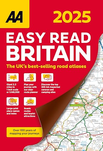
Great Britain Road Atlas 2025 Hardback (AA Road Atlas) (AA Road Atlas Britain) (AA UK Atlas Britain)
Watch Price
Watch Price
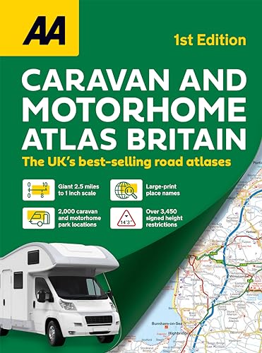
Caravan & Motorhome Atlas Spiral bound (AA Road Atlas) (AA Road Atlas Britain) (AA UK Atlas Britain)
Watch Price

Watch Price
Watch Price


Watch Price

Watch Price
Watch Price
Watch Price
![2024 Collins Road Map of Britain: Folded Road Map [New Edition]](https://m.media-amazon.com/images/I/81qvDX9ZcoL._SL500_.jpg)